Patchy drizzle/fog overnight, better Sunday
SYRACUSE, N.Y. (WSYR-TV) – Showers tapering across all of CNY this evening with just a bit of drizzle and some fog around tonight. Looks at least a little better Sunday, but how much better? The details are below…
Patchy drizzle and fog overnight
Low pressure responsible for the rain and drizzle on Saturday is pulling away tonight which has brought an end to any steadier rain showers across CNY and left the area with some fog and drizzle.
Areas of fog and patchy drizzle will be leftover much of the night with lows in the mid to upper 30s.
Clouds remain stubborn
It is drier on Sunday, but plan on the clouds having the upper hand on the sky even into the afternoon with maybe a few breaks to sun later in the afternoon and evening.
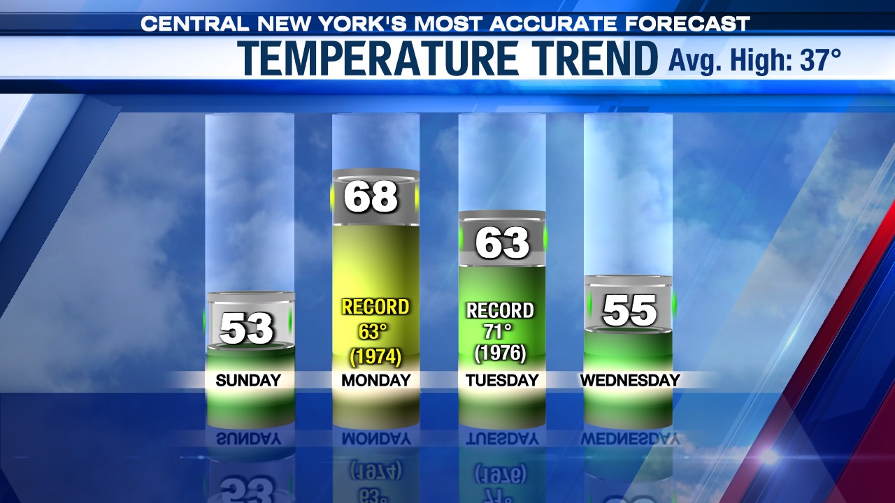
The air mass over us is quite mild so even just a little sun sneaking out with no rain around should get us into the 50s to end the weekend.
Looking at more record warmth?!
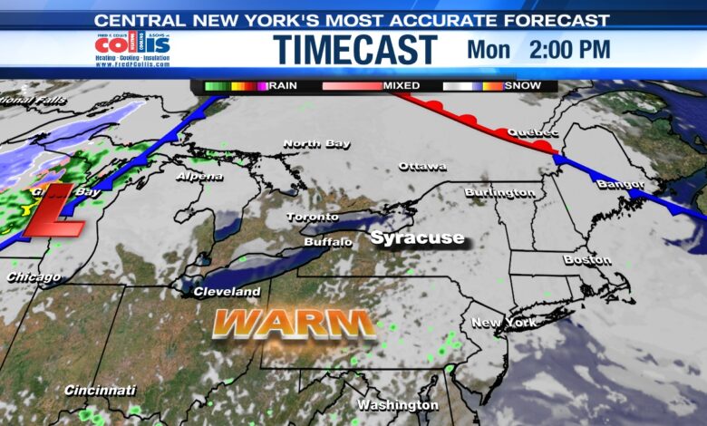
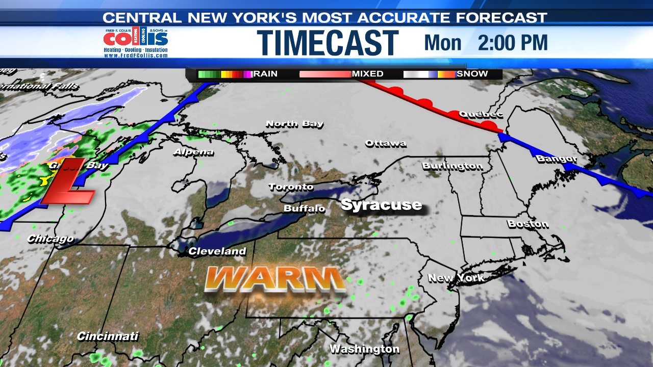
High pressure continues to build in Sunday night and Monday which should help to clear us out to start the week after some low clouds kick off Monday. With some sunshine returning Monday and a steady southerly breeze, we should have no trouble warming into the 60s.
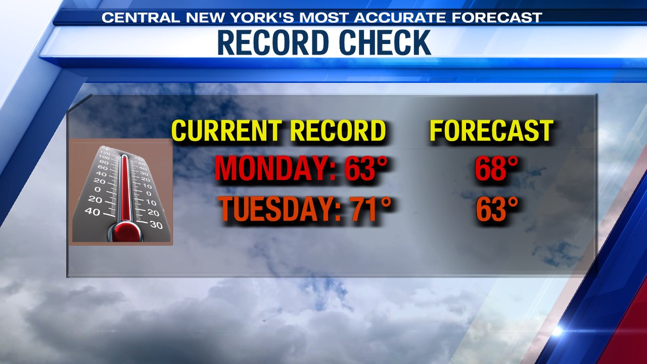
The record for Monday is 63 set in 1974, and we think we have a good shot of breaking that record with mid to upper 60s looking likely. Stay tuned.
Turns cooler and damp midweek
A small wave of low pressure sliding up the coast looks to be close enough to us to produce more clouds Tuesday and possibly a few showers mainly east of Syracuse the way it looks now. Thanks to the clouds it’s a bit cooler but still very mild Tuesday with highs in the low to mid 60s.
We expect a cold front to move in slowly come Wednesday with a better chance of some showers. Temperatures will cool back into the 50s.