Shower up north this evening; Any rain Monday?

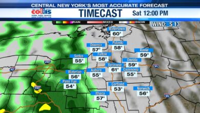
SYRACUSE, N.Y. (WSYR-TV) It turned into a nice day Sunday, but can we keep it going into the start of the new week? Details are below.
Most are dry tonight
A weakening backdoor cold front is triggering a few showers/storm across the North Country this evening, but as the front slides south tonight the showers will fall apart and not make it into CNY.
Lows drop into the mid to upper 40s under a clear to partly cloudy sky across CNY tonight.

Another long dry stretch ahead?
Sunday’s weather was a preview of another long stretch of dry weather taking us into much of this week! So yes, you got a break from watering the plants and gardens this weekend, but keep the sprinklers ready to go this week.

There appears to be a possible hiccup in the dry, sunny weather this week across CNY though.

What is the hiccup? It still looks like a backdoor cold front is going to move through with at least a few showers on Wednesday.
Back to a fall feel mid to late week
Temperatures are expected to fall out of the 70s and into the 50s Wednesday afternoon with a chilly breeze kicking up too!
Behind the front, a Canadian area of high pressure should build in to round out the week and provide some sunshine and cooler than average temperatures.
Highs Thursday struggle to make the low to mid 60s with a cool breeze. Come Friday it is still a little cool, but a little warmer with highs well into the 60s to maybe 70 for a few.

Can we keep the dry weather rolling into the Memorial Day weekend? Probably the way it looks now but stay tuned for updates.
Powered by News Channel 9.